Map of city strategic plans as a Smart City feature.
Smart city is a popular buzzword of the last few years. But what does it really mean?
One definition says “A smart city uses information and communication technology to improve operational efficiency, share information with the public and provide a better quality of government service and citizen welfare.”
Since everything seems to be “smart” these days, it is important to understand that the value of a smart city lies in how the technology is used rather than in employing as much new technology as possible. A great example of smart citizen engagement is a Map of city strategic plans.
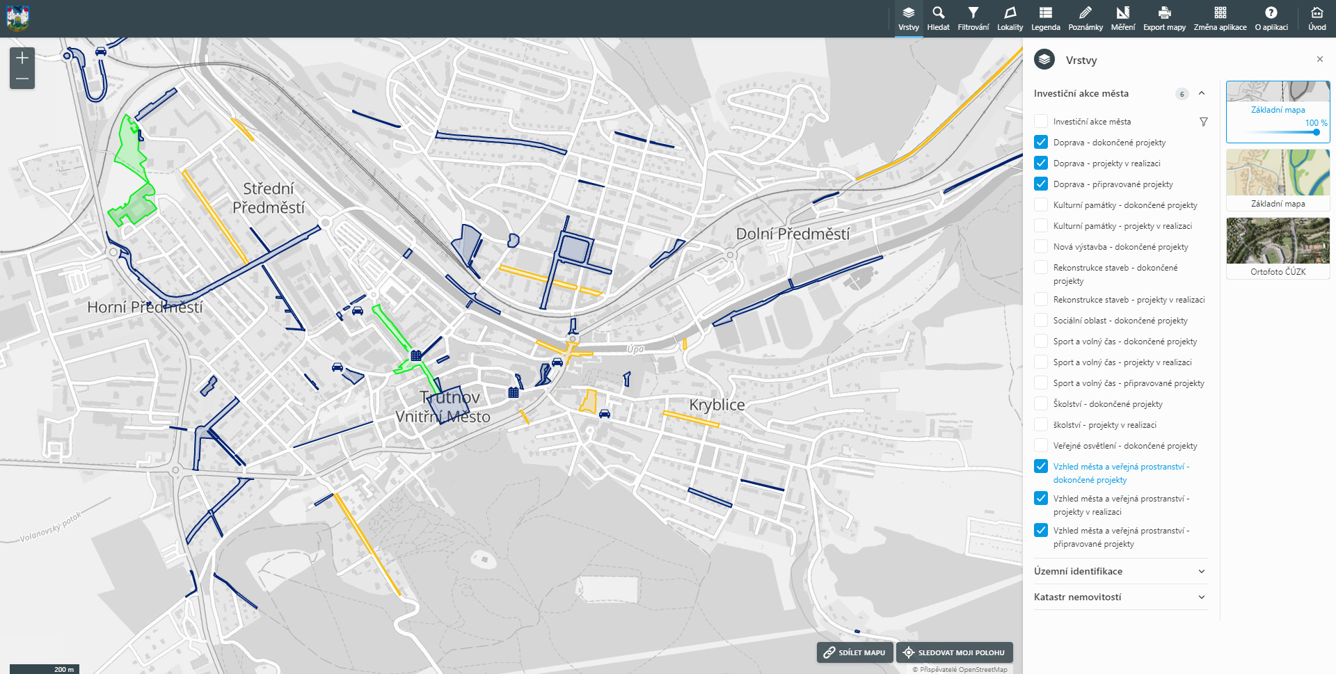
This interactive map represents a smart way to share city strategic plans.
source: Map of investment projects of Trutnov City
Map of city strategic plans is a simple yet effective way to share information with the public. The interactive map displays city investment projects that were completed in the past and also presents city hall strategic plans for the future. Individual projects are organized into several map layers and are displayed with various colours and icons.
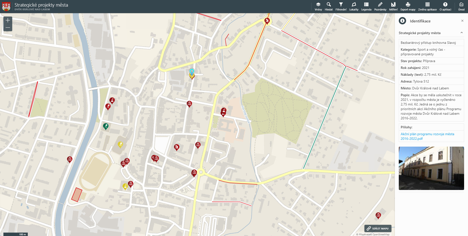
Detailed information on each project is provided, including task description, time duration, financial plan, photographs and links to other digital documents. Advanced search tools allow users to look up particular development activities of local government.
Detailed information on each project is provided (inc. description, schedule,
financing, photographs and links to other documents).
source: Map of strategic plans of Dvůr Králové City
The Map of city strategic plans represents a great way for local governments (or any other institutions) to openly disclose how public money is spent. Check T-MAPY’s SmartCity web page to learn more about our smart city solutions or contact us for further information on our products.

